
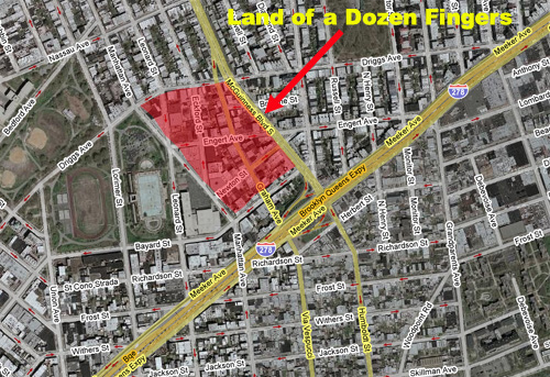
Needless to say, we were a little surprised in one of our periodic wanderings around Greenpoint when we actually counted the number of new and tall buildings going up in a particular corner of the neighborhood. It’s the oddly shaped patch in the map above that we have dubbed The Land of a Dozen Fingers because so many buildings between five and ten stories are going up there at once. The Finger Building, of course, is the notorious high rise slowly going up on N. 8th Street in Williamsburg that’s had a huge crane towering over it for more than a year now.
There are nearly a dozen of these mini-fingers, if you will, in the area bounded by McGuinnes Boulevard, Bayard Street, Manhattan Avenue and Driggs Avenue. The biggest concentration of Greenpoint Fingers is around Eckford Street and Engert Avenue. (This excludes what we call Karl Fischer Row and environs on Bayard Street, east of McCarren Park, which flips North Brooklyn the biggest birds of them all).
Photographic evidence is below.
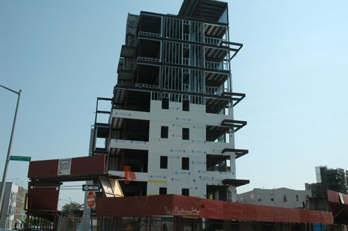
Manhattan Avenue and Engert.
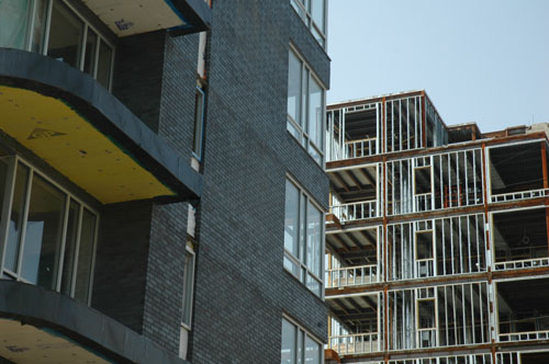
Engert Avenue.
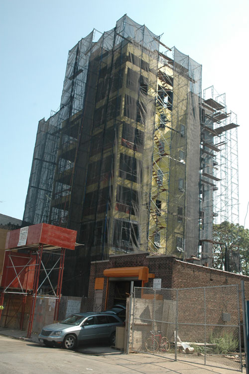
The Finger of Newton Street.
Related Posts:
The De-Industrialization of Williamsburg