
There is a lot of new and fun information now available at the Office of Emergency Management‘s website about the updated city hurricane evacuation plan, including a brochure in 10 languages and a long primer on the Evacuation Plan (click here for the full PDF).
The new $30 million hurricane plan that will triple the number of shelters was announced by the Mayor yesterday. According to the plan, the city will be able to evacuate 3 million people and shelter 600,000. There are 65 evacuation centers (up from 23) and 509 hurricane shelters. Less reassuringly, the plan relies heavily on the MTA to help us run for our lives. (Fun thing for today: Make up examples of the helpful announcements you would hear on the train.) The city would increase bus and subway service from flood zones. It would ask the state to make mass transit free (!!!!) and let cabs stuff in as many people as possible. GL assumes the taxi plan is for Manhattan, because Brooklyn and Queens don’t got no freaking cabs in good weather, let alone when a killer hurricane is racing toward us.
OEM is going to mail hurricane preparedness brochures to 300,000 residents in the most vulnerable parts of the city, which one supposes is a way to tell people who don’t bother looking to see if they’re in “evacuation zones” that they should get out of Coney because they’re New Orleans Screwed when the Big Blow comes.
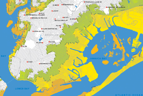
Pay attention Brooklyn: One in four New Yorkers lives in a hurricane evacuation zone and an awful lot of those evacuation zones are in the Borough of Kings. Check out the map and you will see just how much of Brooklyn potentially becomes Underwater World. It looks like the Incredible Shrinking Borough. The only saving grace here is that the odds of a hurricane hitting the city are just one percent.
According to OEM, New York City is particularly vulnerable to storm surge due to a geographic characteristic called the “New York Bight,” a sharp bend in the Atlantic coastline where New York and New Jersey meet. (This is not to be confused with the “Brooklyn Bite Me” and the “Bronx Eat Me,” which have nothing to do with hurricanes.) The New York Bight amplifies the effects of a storm surge and can create severe flooding in coastal areas, particularly when the storm tide coincides with normal high tides. If a Category 1 hurricane made landfall in the City, portions of the Rockaway Peninsula, South Brooklyn, Red Hook Piers, communities bordering the Newtown Creek in Brooklyn and Queens, Lower Manhattan, Staten Island’s North and South Shores, and low lying areas of the Bronx would be vulnerable to flooding and damage.
One part of Brooklyn where they apparently are worried about the Big One is Brighton Beach, at least, according to a recent NY Sun story about Brighton Beach hurricane paranoia. Makes you wonder if those old Russian ladies on the boardwalk know something we don’t or if there are just a lot of hurricane-fearing people in Brighton Beach. It makes a fascinating read.
Do you know what should be in your Go Bag?